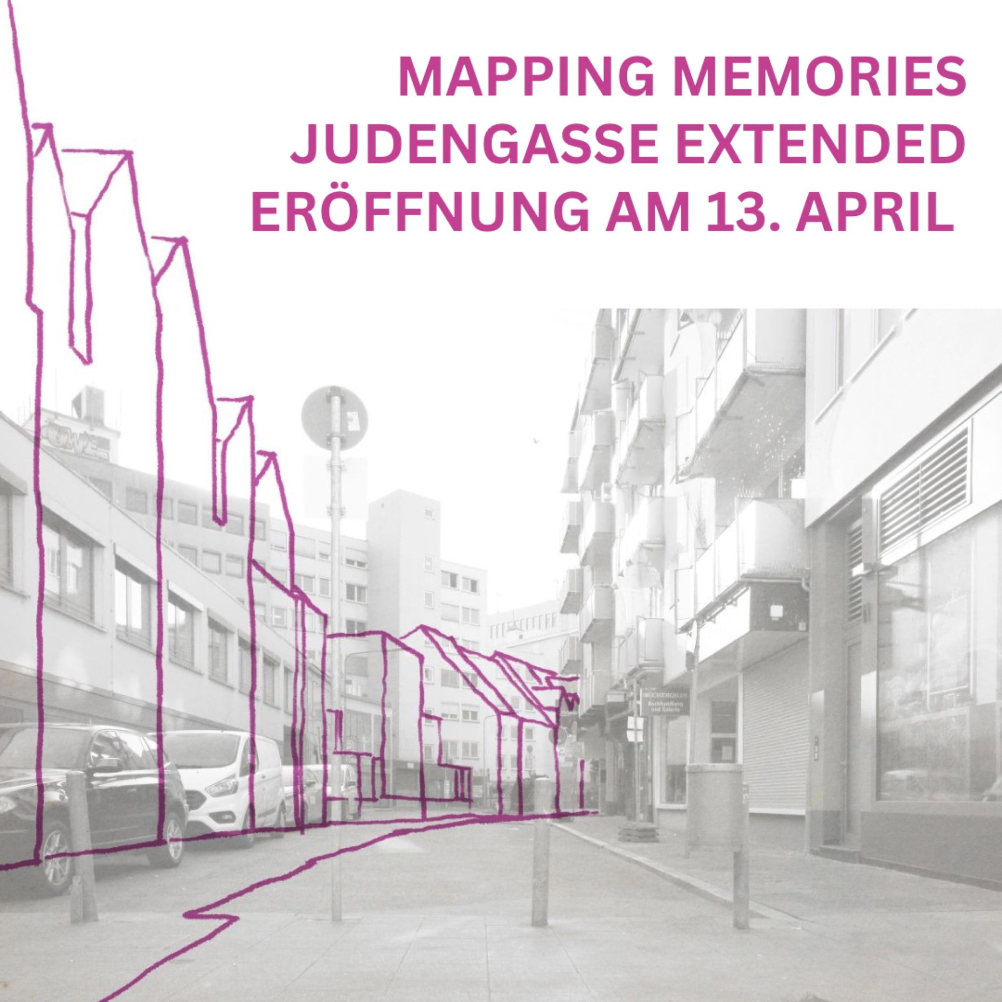
“Mapping Memories: Judengasse Extended,” a two-week festival April 13-30, focuses on the history of the Judengasse, the medieval Jewish ghetto in Frankfurt, and what it describes as the way its traces were “violently suppressed” from public space.
Centerpiece is a pop-up exhibition in the atrium of the Frankfurt Jewish Museum’s Judengasse branch, with archaeological finds from the time of the ghetto plus an “artistic intervention in the current form of the historic site.”
The festival also includes talks, workshops, the development of open educational resources, guided tours, and new outdoor information resources around the Judengasse Museum.

The Judengasse museum is located amid the foundations of five houses that once formed part of the Judengasse, or Jewish lane, a ghetto where Frankfurt’s Jews were forced to live from the mid-15th century for more than 400 years — by the 16th century, some 3,000 people lived there.
The exhibition is organised in cooperation with the Archaeological Museum Frankfurt.
It presents ongoing research and new insights into the everyday culture of Jews in early modern Frankfurt. The archaeological finds come both from the cellars of the Judengasse and from ditches for water supply and disposal.
It shows archaeological finds that were recovered in 1987 during construction of a public utilities center at Börneplatz, once the edge of the medieval ghetto. The Judengasse was torn down as part of urban renewal at the end of the 19th century, and a new synagogue was built on Börneplatz — it was destroyed by the Nazis on Kristallnacht. The site became derelict after World War II.
In the 1980s, a civic alliance of churches, political parties, intellectuals and cultural figures protested plans to build the public utilities center; excavations for the new building had uncovered the foundations of Judengasse houses — of the original 195 buildings, the foundations of 19 were uncovered.
Eventually, the center was built, partially atop the site of the destroyed Börneplatz synagogue, and the excavated remains of Judengasse were displayed, along with an exhibit on the Börneplatz protests, as a branch of the Jewish Museum and incorporated into the new building.
The Judengasse Museum reopened in 2016 with a revamped permanent exhibition presenting Jewish history up until 1800.
See a video about the Judengasse:
See web page for the Mapping Memories festival
Click to see the PDF program of the Mapping Memories festival
4 comments on “Germany: Mapping Memories — a 2-week festival at Frankfurt’s Judengasse — is under way”
1) What are the names of the 5 houses whose foundations are under the MJ?
2) Are there any maps showing the locations of all the houses in the Judengasse in the 1600s? I found on the Internet a representation of a map from 1711 in the collection of the New York Public Library, but the image is so small that when I try to enlarge it to see what look like they might be house names they blur.
Thanks for any help you can give me.
Perhaps you already found the answers to your questions somewhere else, but in case you haven’t:
1) The (deconstructed and reassembled) foundations of the Weißer Widder, the Roter Widder, the Sperber, the Steinernes Haus (‘Stone House’) and the Warmes Bad (‘Warm Bath’) are presented in the Museum Judengasse (See Backhaus et al. 2016, The Judengasse in Frankfurt).
2) The oldest map of the Judengasse with this type of information dates to 1711. There is an older bird’s eye view map of Frankfurt from 1682 (by Matthäus Merian the Younger), but as far as I know that is the earliest impression of the Judengasse to be found in the Jewish Museum collection and city archives.
Where was the Rothchild home–is it part of the Museum Exhibit?
The Rothschild Palais is the main seat of the museum. https://www.juedischesmuseum.de/en/